Published by: jdoyle
License: Public Domain
File format: .Svg (vector), .Png (large 3000px & small 800px), .Pdf (vector), .Ico (48px x 48px)
Description:
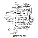
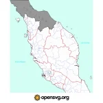
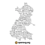
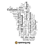
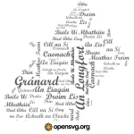
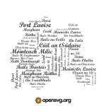
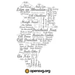
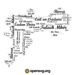
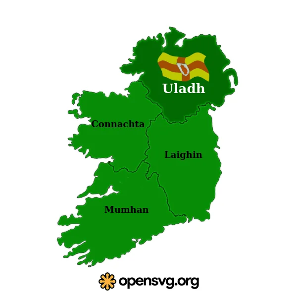
Free Svg image of Ireland Ulster Map for download. This is great vector with the design similar to Map Svg graphic and Meath County Map. Archive file available in .svg vector, .png transparent in width 3000px and 800px, .pdf for Photoshop work, and website favicon .ico at 48 pixels. Other Map artwork with Louth County Map, Westmeath County Map, or Wexford County Map svg illustration.
Related Tags: